
As, I'm just getting over my seasonal head & chest cold - cough, cough, - from my last ride (Another Busted Trip), I figured it was time to hit the water again. The only rider to answer to the call of "wet & cold" was Cody Reulet, so it would just be the two of us. Cody, a fellow Green Hulker, had just gotten his bike dialed in after having picked it up from a custom mod job - plus, he had recently purchased his first wet suit, so you could say he was itchin' to go. Cody seems to be a hard working, open minded, young man and is easy to get along with. He had also told me he wasn't quite thirty years yet, so I was hoping I could keep up with him.
We met at the St. James Boat Club on US 61 at a little after 11:00AM; both of us having run a little behind schedule. We departed the ramp at 11:30 after finally discussing our route for the day: I had been wanting to make the L. Maurepas Loop, which is 60 miles, but starting from St. James would add on an uncertain amount of additional miles. I approximated the extra distance and figured it would be a maximum of 85 miles, round-trip. Our main concern was having to refuel, but that was covered with the ten additional gallons I was carrying on the rack. Our secondary concern was L. Maurepas - as the moss had started to sway, we figured on some wave action. As we were ready to leave, Cody announced his O-2 sensor crapped out. No worries, he could run without it and I figured we just had our glitch for the day.
 Our first stop was just a few miles east of the ramp at the only church I've ever known to be accessible by water only: Our Lady of Blind River. While I'm not sure of the denomination (I think it's Catholic), I have heard of the odd couple or two that have been married there. As the church proper is only about 200 square feet, "petite" would be a good local word to describe it. By the time we made the I-10/Blind R. bridge, Cody was ready for his face mask & gloves. At eight miles from the ramp, we passed the Petite Amite, which meant we had now entered my sixty mile established trail. That made me feel better as our route would now be no longer than eighty miles. We finally made the Blind R. Bar at the Diversion Canal where Cody stopped to step into his farmer-john. With me loaning him my spare pair of ski goggles, we must have looked like twin ninja skiers.
Heading out to the end of the Blind, we passed only a couple of deer hunters, traveling via air-boats. Reaching L. Maurepas, it was evident it would not be smooth sailing. We headed out and upon reaching the 2nd buoy, I looked back for a thumbs-up, or down, from Cody. I got a reply of "up" and off we went: We spent the next 20 minutes battling the two-to-three foot white caps - with eight miles of lake crossing, you could say we managed to get a full body work out. Checking the view behind me in the mirrors, I found Cody on the leeward side of my bike and just on my wake. I think he was trying to let my lead knock down as much wave as possible for his ride. Had he been in the lead - I would have done the same. Half a mile later, I noticed one of my external gas tanks had fallen over sideways. While stopping to right the tank, I managed to nearly lose a glove overboard and saved it at the last minute. Now both of my gloves were soaked and we still hadn't made the half-way point. By the time we reached the Amite, all of my fingers and thumbs had gone numb.
With the lake finally behind us, we carved up the water for twelve or so miles when my bike suddenly lurched and cav'ed. Damn! Two miles past the middle of no where and now trouble. I figured it was only an intake block, but I was not looking forward to getting wet. Luckily there was a backyard ramp nearby and although I was able to work in shallow water, I found nothing on the grate. Cody and I discussed the issue figuring it was either trash on the pump, or time for a new wear ring. Although I was upset about the mild cavitation and vibration, the bike's speed and RPMs all seemed in place.
Keeping on our southwest track, we traveled for a dozen or so miles until we made the weir at the Diversion Canal. Although I was cav'ing the whole way, the bike still seemed fine, and I had no error codes or beeps come through the 'Doo's cluster. Heading east, half way down the Diversion, I crossed a passing boat's wake and, a few bounces later, the pump cleared and the cavitation disappeared. -problem solved! It must have been trash...

Reaching the north end of the Pet. Amite, I reported to Cody our milage thus far, and, after checking our gauges, we decided to not refuel and head for home. Not too far into the curvy bayou, Cody checked up to relieve himself and I continued on for about five hundred more yards. I cut the engine and turned around, wanting to catch a few shots of Cody sweeping the curves. The atmosphere was completely silent, except for the occasional bird song coming out of the naked swamp. Then, it happened: Cody started up his bike - with the thru-hull exhaust and modified water box, I could hear that deep rumble from almost half a mile away.
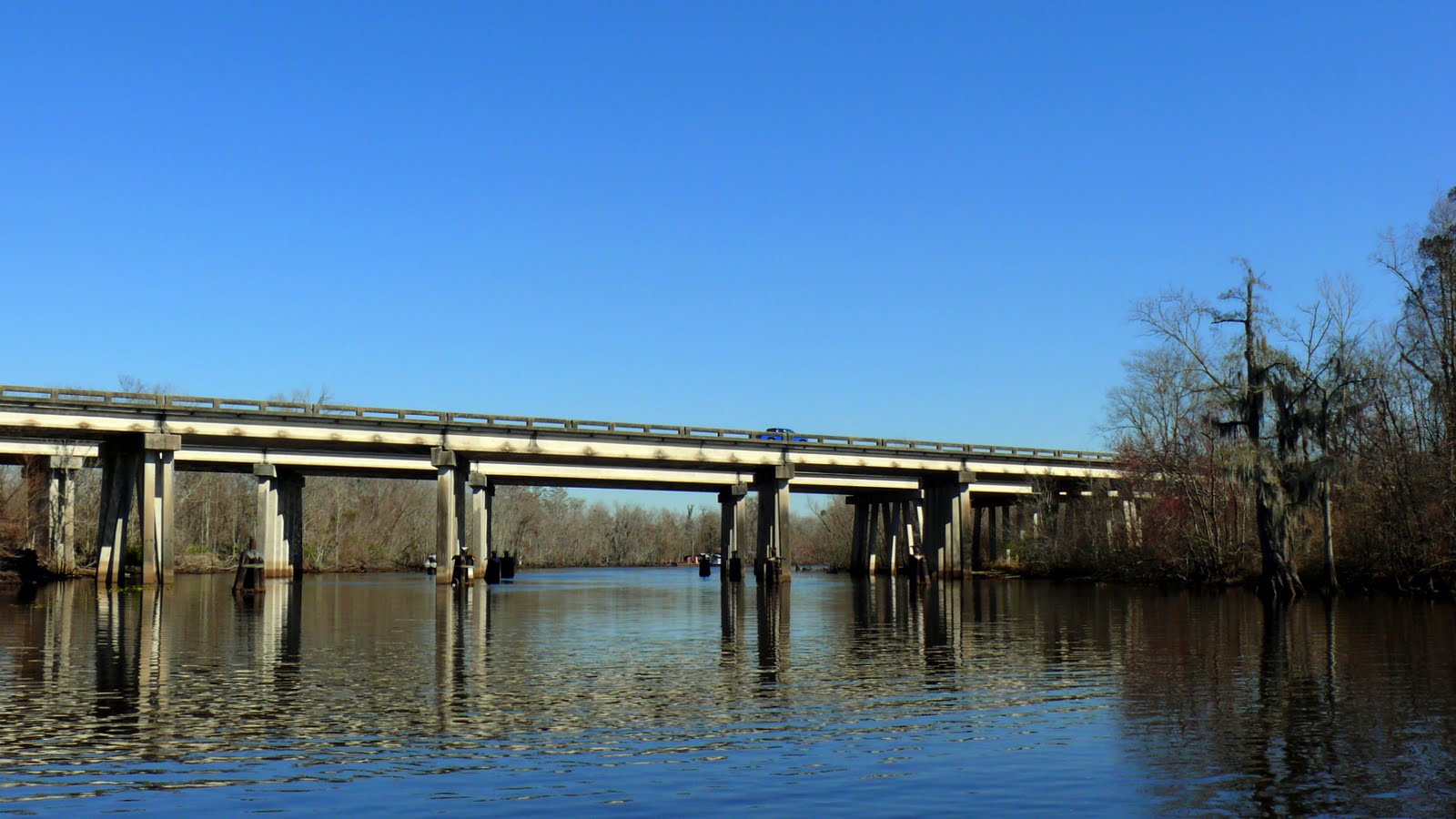
Dashing for home, we carved up the Petite, and in no time was back in the Blind. Once we cleared the I-10/Blind R. bridge, I opened up the ponies to check my speed against my RPMs. I hit and held the limiter at 8100 while the GPS clocked me at just over 66 mph. Cody matched me, but I know better than to think he pushed his engine (I think he's in the 80 MPH club...).
Making a final few curves, I looked ahead to see the parking lot when my low fuel warning beeper started talking - perfect timing.


